A set of maps top viewPremium
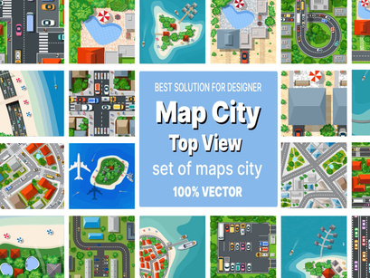
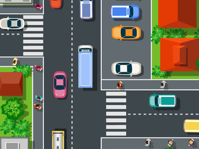
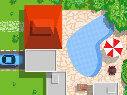
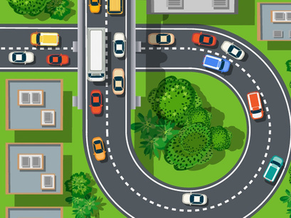
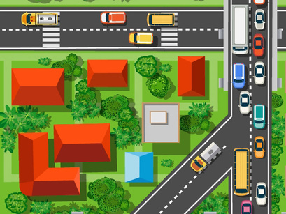
A set of maps top view of the city view from above with city houses, beaches and sea, plane and tourist islands. Stock concept illustration.
City road streets for playing, printing on objects, scenery, and creativity. Houses, streets, clipart buildings. Includes the following file formats: EPS, JPG, SVG
WHAT YOU'LL RECEIVE Saved in PNG, JPG format at 300 dpi
Total eventually you get .zip file download will contain:
21 x.JPG files
21 x.SVG files --This format is for Cricut Explore, Silhouette Designer Edition, Make the cut, Scal
21 x .eps files -- This format is for Adobe Illustrator, Inkspace, Corel Draw, Adobe Photoshop
Perfect for scrapbooking, paper goods, clothing, stickers, etc. Scrapbooking, paper goods, DIY invitations & announcements, clothing and accessories, party favors, cupcake toppers, labels & stickers, signage, stationery, gifts, calendars, banners, postcards, address labels, personal t-shirts, wedding supplies, and whatever else sparks your creativity. These are high-quality files that are ready to print or use with any design, web page, or blog. This set is also great for scrapbooking, card design, and a variety of other papercrafts.
